For the views, pull off at Molas Pass. For the nerves, take the gorge north of Silverton. For dinner, stay put in Silverton. The Million Dollar Highway is the 25 miles of US-550 between Silverton and Ouray, and most people reach it from Durango over three high passes, the highest at 11,018 feet. Drive it north, in daylight and dry weather, and it's one of the best roads in Colorado. This guide covers the whole run.
What is the Million Dollar Highway?
CDOT is blunt about the name: the segment from Ouray to Silverton is called the Million Dollar Highway. It's one piece of the San Juan Skyway, a 236-mile loop that the federal government named an All-American Road in 1996. Locals stretch the name to cover the whole climb out of Durango, and nobody will correct you.
Nobody agrees where the name came from, either. Wikipedia's route entry lists the favorite legends: it cost a million dollars a mile to build in the 1920s, or the fill dirt hides a million dollars in gold ore. It began as an 1883 toll road built by Otto Mears and took its modern form in 1924. Pick the story you like.
How long is the drive, and what will you cross?
Allow half a day, at least. The wheel time is short, but the passes, the pull-offs and lunch in Silverton add up fast. Silverton sits right in the middle, and the BLM lists its downtown as a National Historic Landmark district, so it's where you'll refuel and eat before the gorge. A Silverton guide covers getting there and when to go.
| Section | Distance | What you'll cross |
|---|---|---|
| Durango to Silverton | About 49 miles | Coal Bank Pass (10,640 ft), then Molas Pass (near 10,900 ft) |
| Silverton to Ouray | About 25 miles | Red Mountain Pass (11,018 ft), then the Uncompahgre Gorge |
| Durango to Ouray | Roughly 70 miles | Three passes and two historic mining towns |
Is the Million Dollar Highway dangerous?
It can be, mostly for people who drive it like a regular road. The Silverton-to-Ouray half is the hard part. Wikipedia says the worst of it, the twelve miles south of Ouray through the gorge, has steep cliffs, narrow lanes and a lack of guardrails. It adds a useful detail: northbound drivers hug the inside of the curves, while southbound drivers sit out on the exposed edge. That's one more reason to drive Durango to Ouray, not the reverse.
Weather is the bigger risk. Wikipedia counts seventy named avalanche paths along the 23 miles between Ouray and Silverton, and CDOT says it and the Colorado Avalanche Information Center monitor 278 of the state's 522 known avalanche paths above highways. When the danger is high, CDOT closes the road at the slide path, triggers the avalanche on purpose, clears the debris and reopens. Plan for delays.
When should you drive it?
- Summer. The easiest window. Days are long and the passes are clear. Start early and you'll have the pull-offs to yourself.
- Fall. Aspen gold along the passes, and a short season. See our Durango fall colors guide for timing.
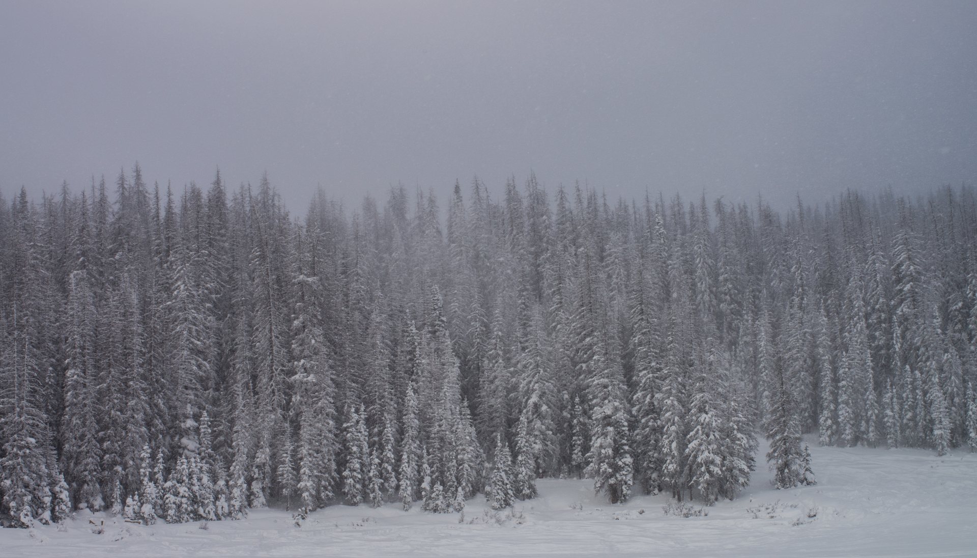
- Winter. The road stays open all year, but snow season starts in October and storms close it. CDOT can order its traction law on any state highway, which means tires with at least 3/16 inch of tread, all-weather or winter rated, or chains. Our Silverton in winter guide has the full picture.
Where should you stop?
Four places earn a pull-off.
- Coal Bank Pass, near the top of the first big climb out of Durango.
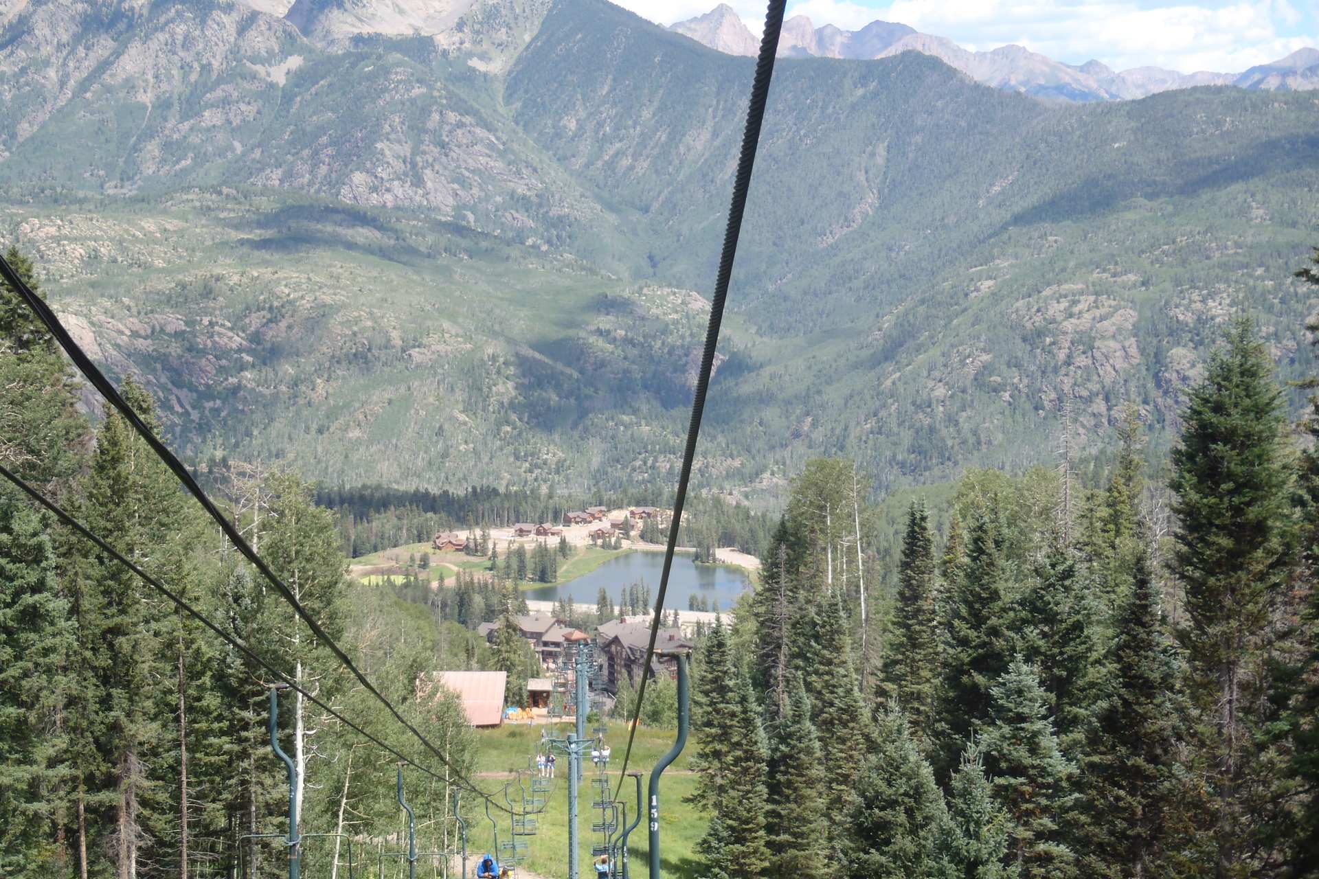
- Molas Pass, with a panoramic view of Molas Lake, the Animas River Gorge and Snowdon Peak.
- Silverton, for coffee or a real meal. Our where to eat in Silverton guide lists what's open.
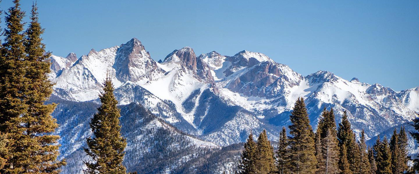
- Red Mountain Pass, for the rust-colored slopes and the old Idarado and Longfellow mine ruins that Wikipedia describes beside the road, plus Lookout Point's view down on Ouray.
How do you drive it safely?
Give it daylight. Then give it patience. Use the pull-offs instead of sightseeing at the wheel, and let faster locals pass when it's safe. Watch for cyclists, RVs and slow trucks on the grades.
Check conditions before you leave, especially outside summer: CDOT posts closures on COtrip. Cell coverage is often spotty in the mountains, so download directions in Durango. And mind the altitude. MedlinePlus says altitude sickness usually appears above about 8,000 feet, and you'll top 11,000. Its advice is to ascend gradually and to descend if symptoms start.
Why stay the night in Silverton?
Because the best light is early and late, and a day-tripper spends those hours in the car. Sleep in Silverton and you split the drive, see the town after the train crowd leaves, and start the gorge in soft morning light. Rooms are scarce in summer, so book ahead.
Three small motels sit in the walkable core: Triangle Motel at 848 Greene Street, Prospector Motel at 1015 Greene Street, and Kendall Mountain Lodge at 1025 Blair Street. Our where to stay in Silverton guide compares all three.
Can you pair the drive with the train?
Yes, and it saves you from driving the hard section twice. In 2026 the Durango & Silverton Narrow Gauge Railroad runs between May 2 and November 1, a 9.25-hour round trip with a two-hour layover, according to the railroad's ride page. So ride up, sleep in town, and take the highway the next morning.
Building a bigger trip? Add the day trips from Durango, a base night in Durango, and the full things to do and where to stay listings. If you're driving in summer, book the Silverton night first.