Durango has a spine, and it's paved. The Animas River Trail runs about 7 miles through the middle of town according to Durango Trails: 8 bridges, 4 underpasses, 1 tunnel, and not one street crossing between the start and the south end of the city limits. Strollers cope fine. So do the regulars who walk it every morning with a coffee.
How long is the Animas River Trail?
Roughly 7 miles, depending on whom you ask. Durango Trails lists 7.1 miles with 337 feet of elevation change, which is the figure you'll see on most local signage and maps. A national directory, TrailLink, counts 10.22 miles by running the line from Oxbow Park and Preserve in the north to Dallabetta Park at the southern end.
Both are right. The difference is whether you count the extensions. If you're just walking from town, plan on roughly 7 miles end to end and don't sweat it.
Where are the access points and parking?
You can hop on at any of a dozen places. Durango Trails names these as parking and access spots:
- Santa Rita Park, near the whitewater park on the south side
- Schneider Park on Roosa Avenue, close to the skate park
- Memorial Park, at West 12th Street behind the fire station
- Rotary Park, at East 15th Street and East 2nd Avenue
- Durango Recreation Center, at 2700 Main Avenue
- East 29th Street and East 3rd Avenue, plus the north end at 32nd Street and East 3rd Avenue
The southern end is at River Road, south of Escalante Drive. Pick the spot closest to your plan and walk the rest. The City of Durango's river access list also names Oxbow Park, Cundiff Park, High Bridge and Dallabetta Park as access points on the river.
What is along the trail?
The trail is a spine more than a destination. Along it you'll pass:
- Rotary Park, a small riverside park with a gazebo, and a spot where the D&SNGRR tracks run close. If you've never watched the narrow gauge go by, this is an easy place to start.
- Schneider Park, with a skate park, grass and river access.
- The Durango Fish Hatchery, at 151 East 16th Street. Colorado Parks and Wildlife says it's the oldest state-owned hatchery in Colorado, with self-guided tours open daily from 8 a.m. to 4 p.m. The wildlife museum was closed for construction when the agency posted its page, and there's no on-site parking, so come by the trail.
- Santa Rita Park and the whitewater park, covered below.
- The Recreation Center and the public library, which Durango Trails notes the path connects.
Between the parks the path ducks under roads, hops bridges and slides past back fences. It's a decent way to see the town from behind, where it's less polished and more real.
What is the Durango whitewater park?
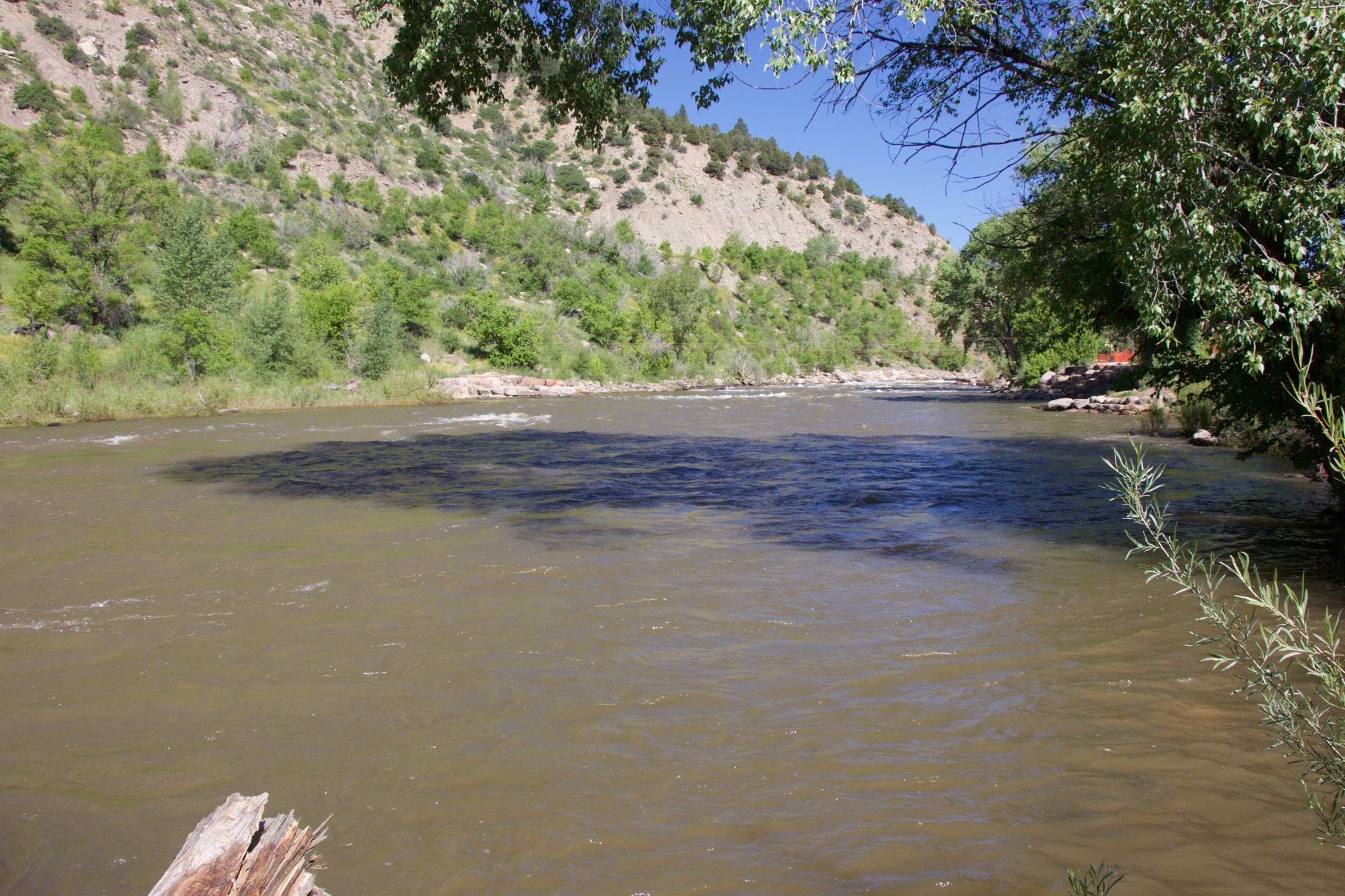
At the north end of Santa Rita Park, the city's Whitewater Park is a stretch of engineered in-stream features that create waves for kayaking, paddleboarding, surfing and rafting through the recreation season. It's reachable straight from the trail, so you can lock your bike and watch from the bank.
Most people just watch, and that's a fine plan. Kayakers and surfers work the waves while spectators sprawl on the grass. In June the park hosts Animas River Days, a festival of kayak and surf contests and a costumed river parade, according to Uncover Colorado.
Don't confuse watching the water with wading into it. The city wants river users in a Coast Guard approved life vest, and its guidelines warn that weather and water conditions change fast, which is a polite way of saying the Animas has opinions. For the guided version, the Durango rafting guide lists outfitters.
Who is the trail good for?
Most people, which is the whole idea.
- Walkers and runners get a long, traffic-free loop in town. Durango Trails calls it perfect for casual walkers and runners.
- Families can roll strollers or small bikes without worrying about cars.
- Bikers use it as a commute spine and an easy in-town ride. Visitors who want something harder should look at the mountain biking guide.
- Anglers and paddlers use it for access to the river.
If you didn't bring wheels, Durango's bike rental shops can set you up. Roll ebike and paddle board is one place listed on our site.
Etiquette on a shared path
Trail manners are simple, and the regulars notice when you skip them. Say hi. Call "on your left" before you pass. Pick up after yourself and your dog. Keep the dog on a leash too, since Durango Trails calls off-leash dogs the number one source of trail conflict.
For tubing, the city's guidelines are clear: no glass and no open containers of alcohol on the river, dogs leashed on shore, and a Coast Guard approved life vest recommended. The recreation center is the tubing put-in, with free parking for tubers and a pump station for filling tubes, and Schneider Park at 9th Street is the take-out.
Getting to the trail without a car
The trolley does the legwork here. It rolls up Main Avenue every 20 minutes between the Transit Center and Animas View Drive, and the river sits a few blocks off that line. Hop off, walk toward the water and you're on the path. Stops are listed on the city's route page, and if you're staying downtown you might never touch the car keys.
What should you bring?
Not much, which is the charm. Water matters more than you'd think at 6,500 feet. Sunscreen and a hat help in every season. Add a light layer in the morning, a lock if you're stopping for a while, and a bag for the dog.
What are the rules and hours?
The city closes its parks at midnight. Dogs stay leashed on city trails, with one catch: Oxbow Preserve at the north end bans them outright, so Fido turns around before the end of the line. Rotary Park and Santa Rita Park have restrooms year-round, and the city lists restrooms at Memorial, Schneider and Oxbow parks too. On the river, no glass and no open containers of alcohol.
When is the best time to go?
Any season works, honestly. Summer mornings are the sweet spot for a ride, spring and fall are calm and comfortable, and winter is fair game too, with shady stretches that can hold snow and ice. Wear shoes with grip and glance at the forecast. The numbers are in the Durango weather by month guide.
Pair it with the rest of the day
The trail lines up well with a loose day. Start with a coffee from one of the Durango coffee shops, ride or walk a stretch, then end at a brewery or one of the places in our restaurant guide. It's also an easy first activity for families with kids and a gentle option for the first day at altitude. If you need a base, see where to stay in Durango.