Durango sits at 6,500 feet and the trails start right outside town, so you can hike a ridge before breakfast or climb above 12,000 feet by lunch. Which one you choose depends mostly on how many days you've been at altitude. Below are twelve hikes sorted from easy to hard, with distances and elevations from the Forest Service and Durango Trails, followed by the two safety rules that matter most up high.
What are the best hikes in Durango at a glance?
| Hike | Distance | Elevation | Level |
|---|---|---|---|
| Animas River Trail | 7.1 miles one way | Flat, paved | Easy |
| Colorado Trail to Junction Creek bridge | 2.5 miles one way | Mostly flat | Easy |
| Forebay Lake | About 2 miles round trip | 8,120 to 8,280 ft | Easy |
| Spud (Potato) Lake | 2.3 miles round trip | 430 ft gain | Easy |
| Animas Mountain loop | 5 miles | 1,428 ft gain | Moderate |
| Gudy's Rest | About 4 miles one way | About 1,450 ft gain | Moderate |
| Raider Ridge | 4.8 miles | 1,670 ft gain | Hard |
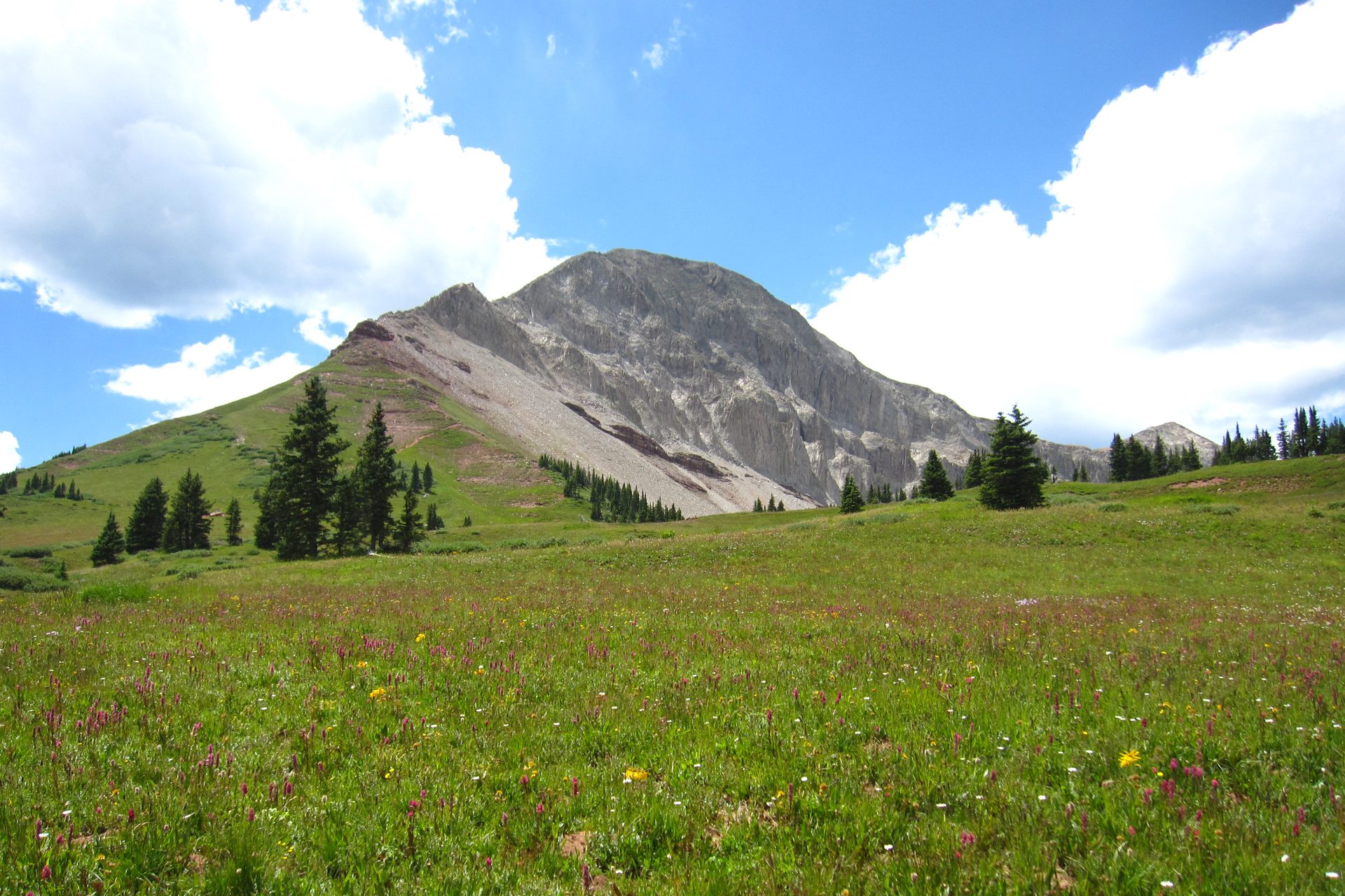
| Engineer Mountain | About 3 miles to the meadow | Up to 12,193 ft | Hard |
| Elbert Creek to Hermosa Creek | 9.9 miles round trip | 2,051 ft gain in first 3 miles | Hard |
| Crater Lake | 12 miles round trip | 10,800 to 11,600 ft | Hard |
| Ice Lake | 3.5 miles one way | 9,840 to 12,260 ft | Hard |
| Columbine Lake | 3.2 miles one way | 10,200 to 12,800 ft | Hard |
Which hikes are easy enough for your first day?
Start low. Your first day at altitude is not the day to prove anything.
Begin with the Animas River Trail, which is paved, 7.1 miles long and about as stressful as a sidewalk. Want dirt instead? The Colorado Trail leaves the Junction Creek trailhead and runs flat beside the creek for the first 2.5 miles. Durango Trails suggests the footbridge there as a turnaround for beginners, and in summer the shallow pools below it beg for bare feet.
Forebay Lake, off Haviland Lake Road, is roughly two miles round trip. The Forest Service's 550 corridor hiking guide pitches it for kids and for anyone still adjusting to the altitude, which describes plenty of people who swore they felt fine. Spud Lake is the better prize at 2.3 miles round trip, 430 feet of climbing and aspens most of the way. Getting there is the hard part. The last 3.5 miles of road are dirt and rock, and the Forest Service warns that low-clearance cars may need to park lower. Maps use both Spud and Potato for the same lake.
Which hikes are the best moderate day trips?
The classic is the Animas Mountain loop, and you can walk to it from town. Durango Trails lists it at 5 miles with 1,428 feet of gain, a lollipop loop with views of the Animas and Hermosa valleys and the La Plata Mountains. Keep the seasons in mind. The upper loop closes for wildlife from December 1 to April 15.
Gudy's Rest is the other one to know. Drive up Junction Creek Road, hike past the footbridge, and the trail starts climbing in earnest. The Forest Service puts the viewpoint at mile 3.8, and the overlook looks down on Durango. Bring a headlamp if you plan to linger.
What are the harder hikes near Durango?
Raider Ridge is where Durango Trails stops being polite. It calls the route long, difficult and beautiful: 4.8 miles with 1,670 feet of gain, part of the Horse Gulch network just east of downtown. Your reward is an overlook of Hillcrest Golf Course with the La Plata Mountains behind it. Not every junction is signed, so carry a map. Bikers love this ridge as much as hikers do, as our mountain biking guide explains.
Up on the US-550 corridor, three hikes stand out. The Elbert Creek trail starts across from Purgatory and gains 2,051 feet in its first 3 miles of switchbacks up the Hermosa Cliffs, per the Forest Service. Park in the right lot, because part of the trailhead is private property. Engineer Mountain is the postcard peak, and the trail passes a wildflower meadow at roughly 11,800 feet. The last stretch to the summit is scree and scrambling, so most people stop at the meadow. Crater Lake is the long one, 12 miles round trip into the Weminuche Wilderness starting at about 10,800 feet. It doesn't gain much, but it's high and exposed. Groups are capped at 15 in the wilderness.
If you only have energy for one big hike, pick Engineer Mountain's meadow on a clear morning. It pays more per mile than anything else on this list.
What about hikes near Silverton?
Two of the best alpine lake hikes in the San Juans start near Silverton, an hour or more up US-550 from Durango.
Ice Lake is the famous one. The Forest Service lists 3.5 miles each way, climbing from 9,840 to 12,260 feet, and warns that the trail is wildly popular and that parking is difficult in summer. Wildflowers usually fill the basin in late July and August. A 2020 fire also left dead snags along parts of the route, so treat windy days with care.
Columbine Lake is the quieter, steeper cousin. Count 3.2 miles each way, from about 10,200 feet up to 12,800, and the switchbacks start almost at the car door. The trailhead sits off Ophir Pass Road. The trail is open to motorcycles and e-bikes, so don't be shocked by an engine. Plan lunch in Silverton with our Silverton guide.
How do you stay safe at altitude and in thunderstorms?
Two rules cover most of the trouble.
Ease into the altitude. The CDC says anyone traveling above 8,000 feet may be at risk for altitude illness, and suggests avoiding alcohol and heavy exercise for the first 48 hours. Headache, tiredness, nausea and a lost appetite are the early signs. If they get worse while you rest, go down. Drink plenty of water, and pace yourself on the first day.
Be off the high ground by noon. The National Weather Service tells backcountry hikers to climb in the morning and set turn-around times that get you off exposed terrain before storms build. Above timberline, if you hear thunder, head for lower ground right away. Summer thunderstorms here follow a pattern, which we cover in our Durango weather guide.
What should you pack and who else is on the trail?
Water comes first, a lot of it. Add layers, a rain shell, sun protection, a map, and good shoes. Your feet will thank you if you read our hiking foot care guide before a big day. Keep dogs on a leash, since Durango Trails says off-leash dogs are the top source of trail conflict, and see our dog-friendly Durango page for more. Uphill hikers have the right of way.
Want to go higher still? The 14ers near Durango start where these hikes leave off. Families can find shorter outings in Durango with kids, and anyone camping near the trailheads will want the Durango camping guide.