San Juan National Forest in short:
- Size: about 1.8 million acres in southwest Colorado, per the Forest Service.
- Headquarters: Durango. District offices sit in Bayfield, Dolores and Pagosa Springs.
- Closest district to Durango: Columbine, run from Bayfield.
- Its best-known pieces near town: the Colorado Trail's southern trailhead at Junction Creek, the 19-mile Hermosa Creek Trail, and the campgrounds around Lemon and Vallecito reservoirs.
It is late October, so the developed campgrounds are shut for the year. They run May through September. Dispersed camping, trails and the winter season carry on. This guide uses Forest Service, Recreation.gov and Colorado Parks and Wildlife (CPW) figures, and notes where two official pages disagree.
What is San Juan National Forest, and who manages it?
The Forest Service describes it as federal land "from high-desert mesas to alpine peaks." Three districts split it up:
| Ranger district | Office | Campgrounds it runs (examples) |
|---|---|---|
| Columbine | Bayfield, 367 Pearl St; (970) 884-2512 | Junction Creek, Haviland Lake, Lemon and Vallecito reservoirs |
| Dolores | Dolores, 29211 Highway 184 | Burro Bridge, Cayton, West Dolores |
| Pagosa | Pagosa Springs, 180 Pagosa St | East Fork, West Fork, Cimarrona |
The Supervisor's Office is at 15 Burnett Court in Durango, (970) 247-4874. The Forest Service lists its hours as Monday, Tuesday, Thursday and Friday from 9 a.m. to 3 p.m., closed Wednesday and federal holidays. Another listing for the same office shows Monday through Friday, 8 a.m. to 4:30 p.m. Call before you drive over. The office answers visitor questions and sells permits, passes and maps. The Bayfield office lists Friday-only hours, 10 a.m. to 4:30 p.m.
Forest roads open in May or June. They close in December or January. Time your trailhead drives to that window.
What do people actually do in the forest near Durango?
The forest is huge, but a few places account for most trips out of town. This table sorts them by activity.
| If you want to... | Go to | What the agencies post |
|---|---|---|
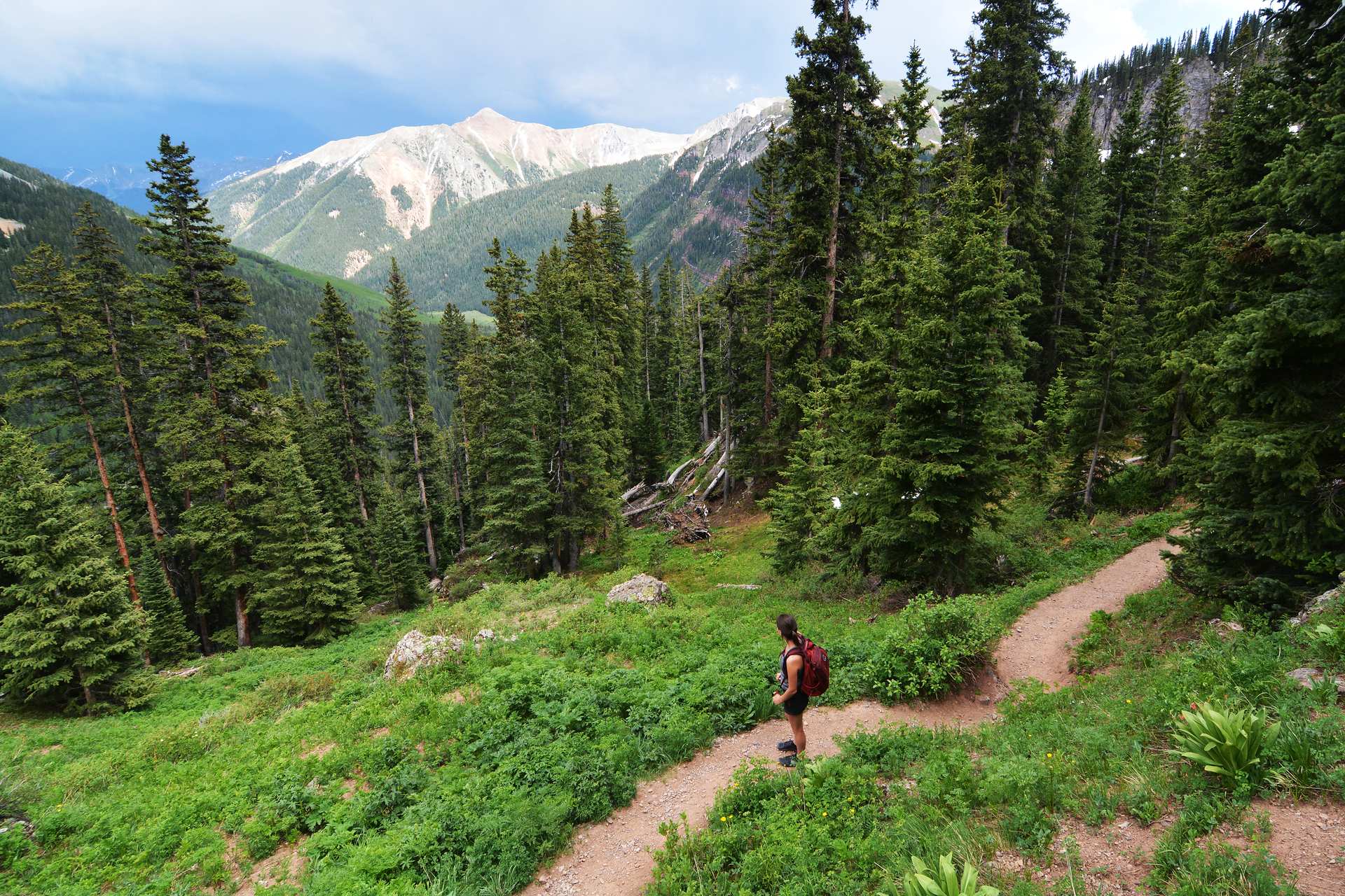
| Hike or bike the Colorado Trail's southern end | Junction Creek Trailhead | Trail #533 runs 19 miles one way, from 7,000 to 10,360 feet. The trailhead is about 3.5 miles up Junction Creek Rd from 25th St; parking is limited |
| Ride a long backcountry singletrack | Hermosa Creek Trail | 19 miles one way, from 8,880 feet at the upper trailhead down to 7,820. Burned-area hazards remain from the 2018 "416 Fire" |
| Camp for free on a quiet road | Old Lime Creek Road | A 5.8-mile road about 15 miles northeast of Durango, narrow and bumpy (Visit Durango) |
| Hike close to town on public land that is not Forest Service | Animas City Mountain | This is Bureau of Land Management land, not Forest Service. About 5 miles of trail climb from 6,700 to 8,200 feet |
| Backpack into the high country | Weminuche Wilderness | Rail access from Durango to Needleton, then Chicago Basin |
One trap: Animas City Mountain is BLM land. It is one of five units in the Durango Special Recreation Management Area, 6,300 acres around town. Forest Service rules stop at that boundary.
Trail picks by type:
- Hiking: Durango hiking trails guide
- Biking: mountain biking guide
- Fishing: fishing guide
How does the Weminuche Wilderness work?
It is Colorado's largest wilderness, and it has few rules for a place that big. The Forest Service says no permit or registration is required for recreation in the Weminuche, South San Juan, Lizard Head or Hermosa wilderness areas. The rules are about behavior:
- Bikes, carts, drones and all motorized gear are banned.
- Groups top out at 15 people, or 25 people and stock combined.
- Camp at least 100 feet from water (50 feet in the Hermosa Wilderness).
- Bury human waste six inches deep, 100 feet from camp, trails and water. Pack out toilet paper.
- No campfires in the Needle Creek drainage, which includes Chicago Basin.
Chicago Basin has three fourteeners nearby. The Durango & Silverton train drops hikers at Needleton to reach it, and the train guide covers tickets. Wilderness size varies by source: 499,771 acres per the railroad, 487,912 per the San Juan Mountains Association. We cannot say which count is current.
Which developed campgrounds are near Durango?
Every campground below is in the Columbine district and runs May through September, with some opening in late May. Dates shift with snow, so check Recreation.gov for exact dates. Distances come from each Forest Service page. Fees are as posted in October 2026.
| Campground | From Durango | Sites | Fee as posted | How to book | Max RV |
|---|---|---|---|---|---|
| Junction Creek | About 5 miles northwest | 44, with 14 electric | $32; electric +$13 | 29 of 44 reservable | 60 ft |
| Haviland Lake | 19 miles north on US-550 | 43, with 17 electric | $32; premium $40; electric +$13 | 26 of 43 reservable | 45 ft |
| Chris Park (group) | 19 miles north, then 1 mile | 3 group sites | $140 or $280 | Reservation | 50 ft |
| Miller Creek | About 16.5 miles via Florida Rd | 12 | $30 | Recreation.gov | 45 ft |
| Florida | About 19 miles | 20 | $27 | First-come | 25 ft |
| Transfer Park | About 21.5 miles | 25 | $22 | Recreation.gov | 35 ft |
| Graham Creek | About 23 miles | 25 | $32 | 15 reservable, 10 first-come | 35 ft |
| Pine Point | About 24 miles | 28 | $31 to $39 | 13 first-come | 40 ft |
| Vallecito | About 29.5 miles | 80, with 3 electric | $32; premium $40; electric +$13 | 33 reservable, 47 first-come | 45 ft |
| Middle Mountain | About 30 miles | 24 | $28 to $32 | Recreation.gov | 35 ft |
Junction Creek and Haviland are the only two with more than a handful of electric sites. The Forest Service says none of its campgrounds has sewer or water hookups, so RVers who want those should read our Durango RV parks guide. More lake details are in the Vallecito Lake guide, and our Durango camping guide covers gear and bears. Haviland Lake is also a state wildlife area, so CPW requires a fishing license, hunting license or SWA pass.
How does free dispersed camping work?
You can camp outside developed campgrounds for free, but the stay limits are tighter than many pages say. A 2024 Forest Service order, in force through December 31, 2029, bans camping more than 14 consecutive days. It also bans camping within three miles of your previous spot for that stretch, and more than 28 days in any 60. An older Forest Service guidelines page still says 16 days and a five-mile move. Follow the order, because it is the signed rule.
Other posted rules for dispersed sites:
- Be self-contained. There is no water, toilet or trash service.
- Camp at least 100 feet from streams or lakes.
- Stay within 150 feet of a road, and use existing sites and fire rings.
- Drive no more than 300 feet off an open road, and only in designated areas without causing damage.
- In the Hermosa Creek Special Management Area, dispersed camping is banned along Lower Hermosa Road 567.
Visit Durango names a few popular zones: La Plata Canyon, Old Lime Creek Road, Little Molas Lake, Missionary Ridge Road and Madden Peak Road. Campfires are legal unless restrictions are on, and checking is your job. Our sister site explains how fire restrictions work in La Plata County.
What permits do you need?
For hiking, biking, fishing and riding, none. The Forest Service says leisure recreation does not need a permit. Two seasonal permits matter in the fall:
- Firewood: The Forest Service has priced a permit at $20 for 2.5 cords of dead and downed wood, valid until December 31. Confirm the current price at the office. See the firewood permit answer.
- Christmas trees: A permit costs $8 plus a service fee on Recreation.gov, or $8 at the Durango, Bayfield, Dolores and Pagosa offices. As of October 23, the Forest Service has not posted the 2026 sale dates yet. You may not cut within 100 feet of a campground or highway, and La Plata Canyon is off limits. See the Christmas tree permit answer.
Outfitters, filmmakers and large events need special-use permits.
What is the forest like in winter?
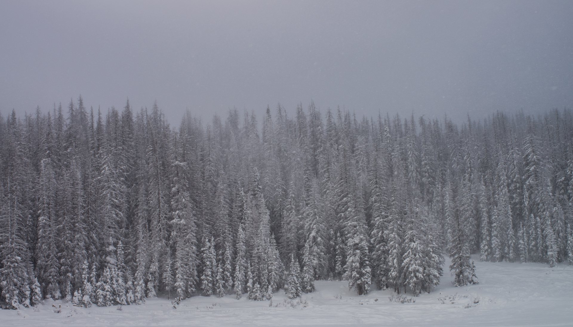
Winter here means snow, closed roads and avalanche terrain. The Forest Service points skiers to backcountry slopes at Red Mountain and Molas passes on US-550 near Silverton. It warns that avalanche danger "runs high." Check the Colorado Avalanche Information Center before any trip.
Snowmobiles must be registered with CPW, and some areas are closed to them for "quiet use" or wildlife. Groomed cross-country trails are free unless a ski area runs them. The San Juan Sledders and the Silverton Snowmobile Club groom routes, and Visit Durango counts more than 400 miles between them. For lift-served options, see ski areas near Durango.
When is each part of the forest open?
| Time of year | What is available |
|---|---|
| May and June | Forest roads begin to open; campgrounds start opening, some in late May |
| June to September | Developed campgrounds open; peak season on US-550 and at the reservoirs |
| September 1 to end of October | Weekly Fall Colors Report from the Forest Service; see the fall colors guide |
| October and November | Campgrounds closed; dispersed camping and trailheads continue as roads allow |
| Through December 31 | Firewood permits valid; Christmas tree permits on sale |
| December and January | Forest roads close for winter |
| Winter | Snowshoe, nordic ski and snowmobile areas; backcountry skiing at the passes |
How do you leave no trace and stay bear aware?
The Forest Service posted a notice that bear activity is "very high" across the forest. Lock food, trash and scented items in a hard-sided vehicle or a bear box. In the wilderness, follow the waste, wash-water and 100-foot rules above. Dogs must be under control, and at campgrounds they must be leashed. The city side of the story is in living with bears in Durango. For lodging when the forest is closed, browse where to stay and things to do.